|
Aerial Photo
|
Warren's Survey
Map |
5
location Theories |
Water
Channels and levels |
Nehemiah Map
|
|
|
Fort Antonia
|
Solomon's Portico
|
Double Gate
|
Southeast
Corner |
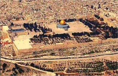
Ophel Excavations
|
Temple Platform
|
|
Temple
Mount |
Temple
Diagrams |
Herod's
Temple Courts |
Early Temple
Illustration |
Wailing wall
|
Temple Mount Chronology 950 BC - 135 CE
|


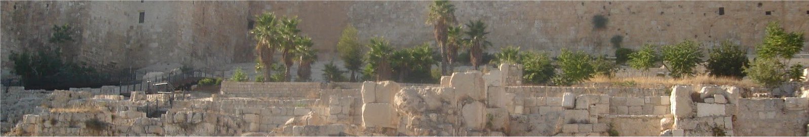
The Ophel area in front of the Mount south wall has been excavated.
The beautiful buildings built by Herod, that Jesus said not one
stone would be left upon another, including the Temple itself,
were all completely torn down.
|
Locating
Solomon's Temple
by Norma Robertson NOW ON VIDEO!
 BOOKS (PDF)  Book 1
 Book 2
|